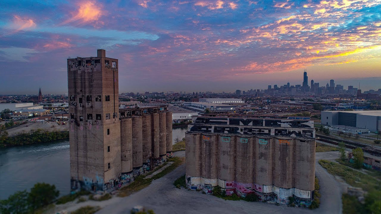
The Damen Silos are a set of abandoned silos south of the Lower West Side across the Chicago River in an industrial section of the city. These silos were created in 1906 by the Topeka and Sante Fe railroad. In 1932 there was a massive explosion in these silos, and more explosions followed, as grain moving quickly can cause sparks to fly. In 1977 they were decommissioned and have since been bought by MAT Asphalt, who have plans to demolish them. This project focuses on an adaptive reuse of these Silos as a way to engage with Chicago's history and give back to the community.
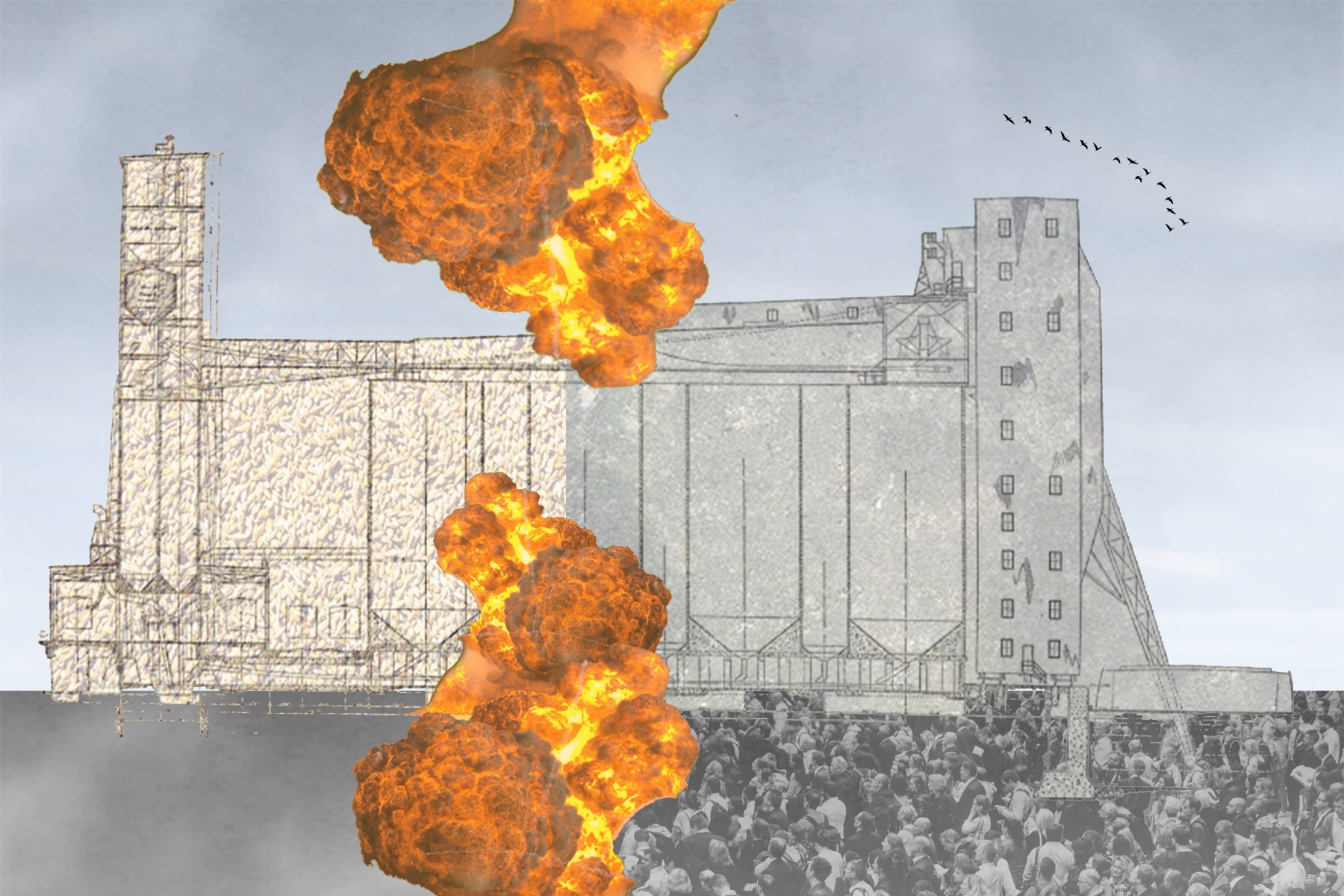
I began this project with a postcard that represents my first impression of the Damen Silos. My collage represents the transition from functional to decommissioned through the explosions. As this site is a popular spot for urban explorers, I included a mass of people looking to the silos.
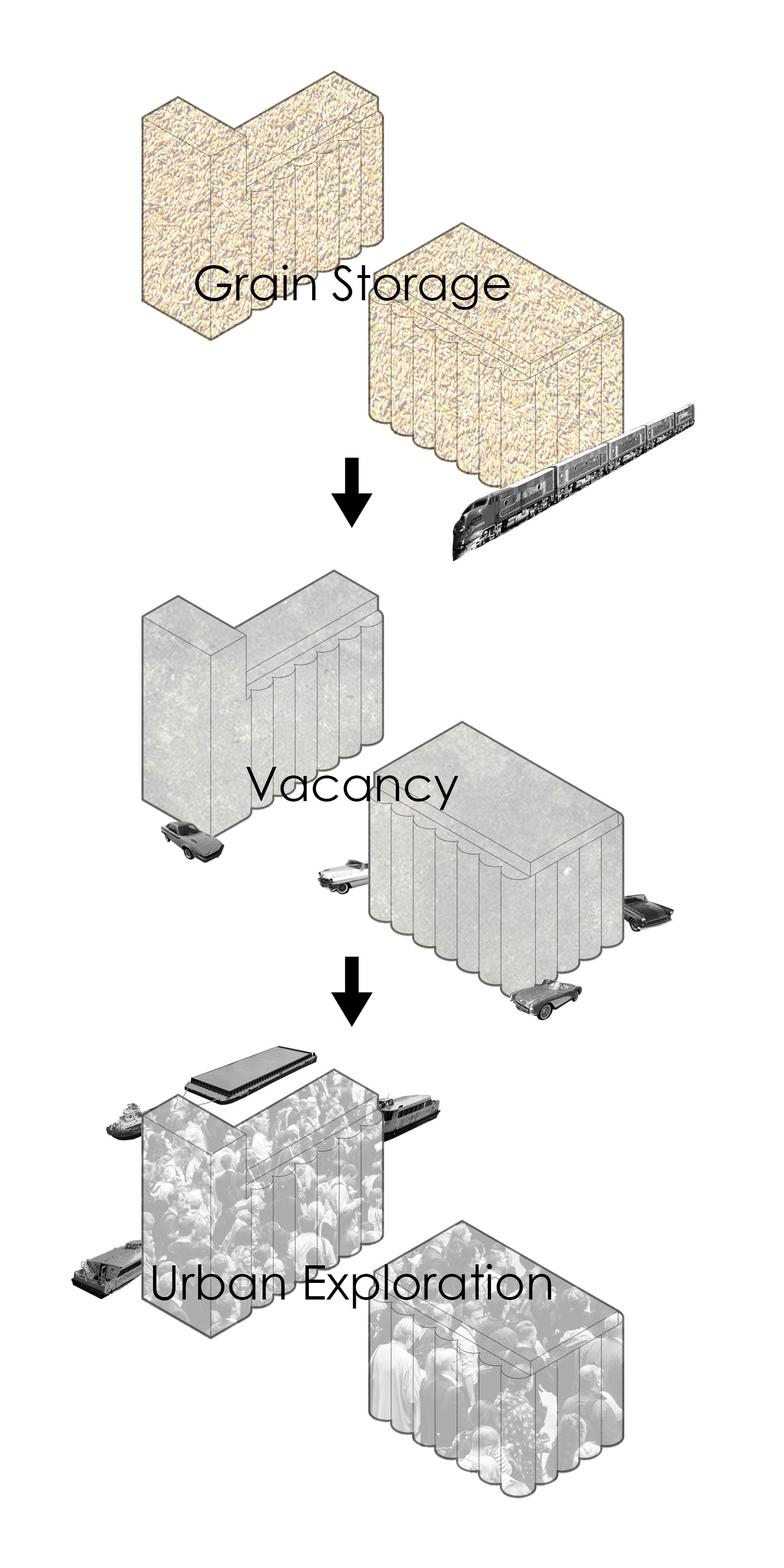
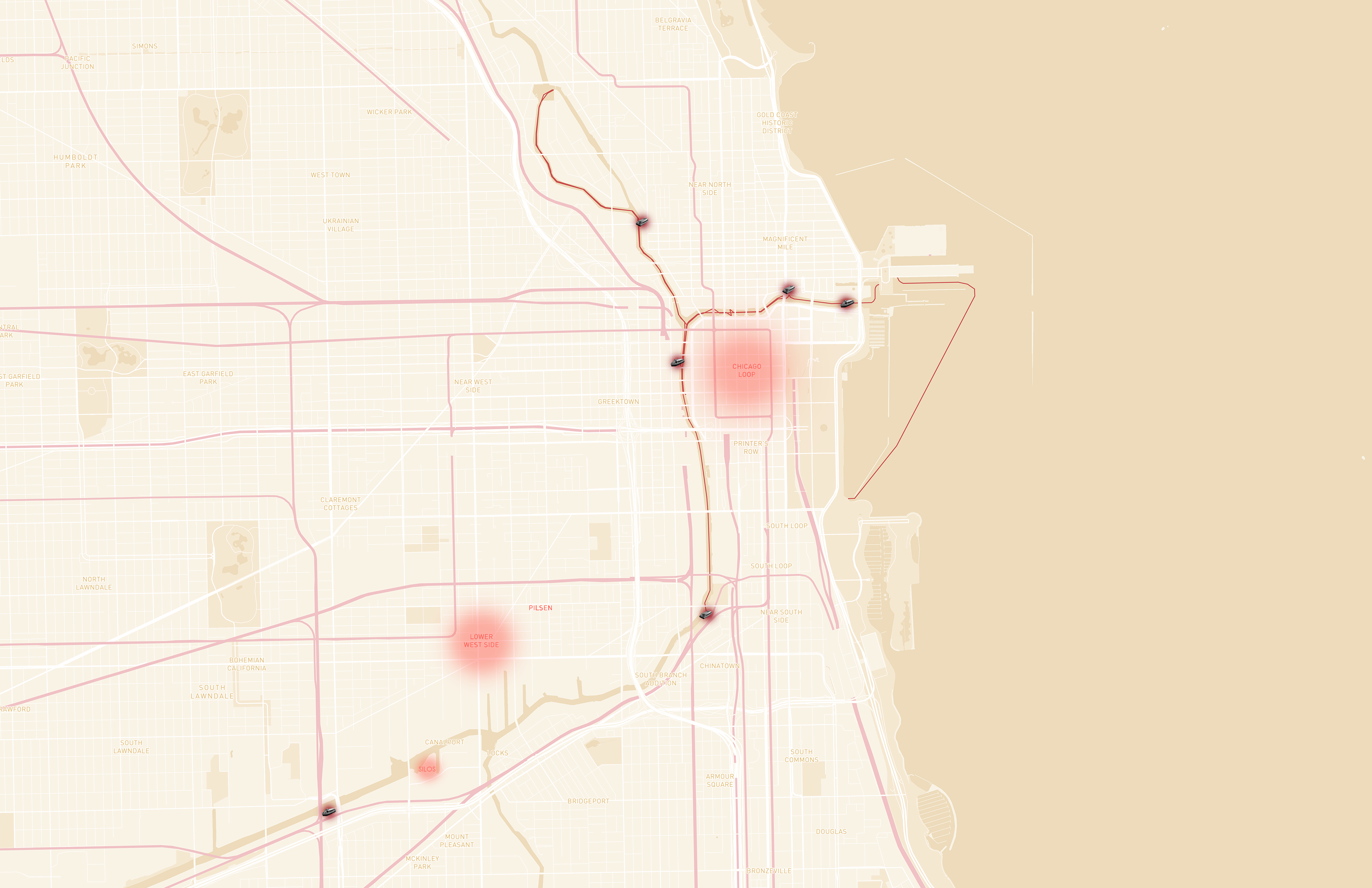
The silos have had two eras of life so far with the first being grain storage using train transportation, and the second as vacancy with automobile transportation. For the future of the Silos my goal was to encourage and expand urban exploration, while also using the Chicago River as a way to attract people to the site.
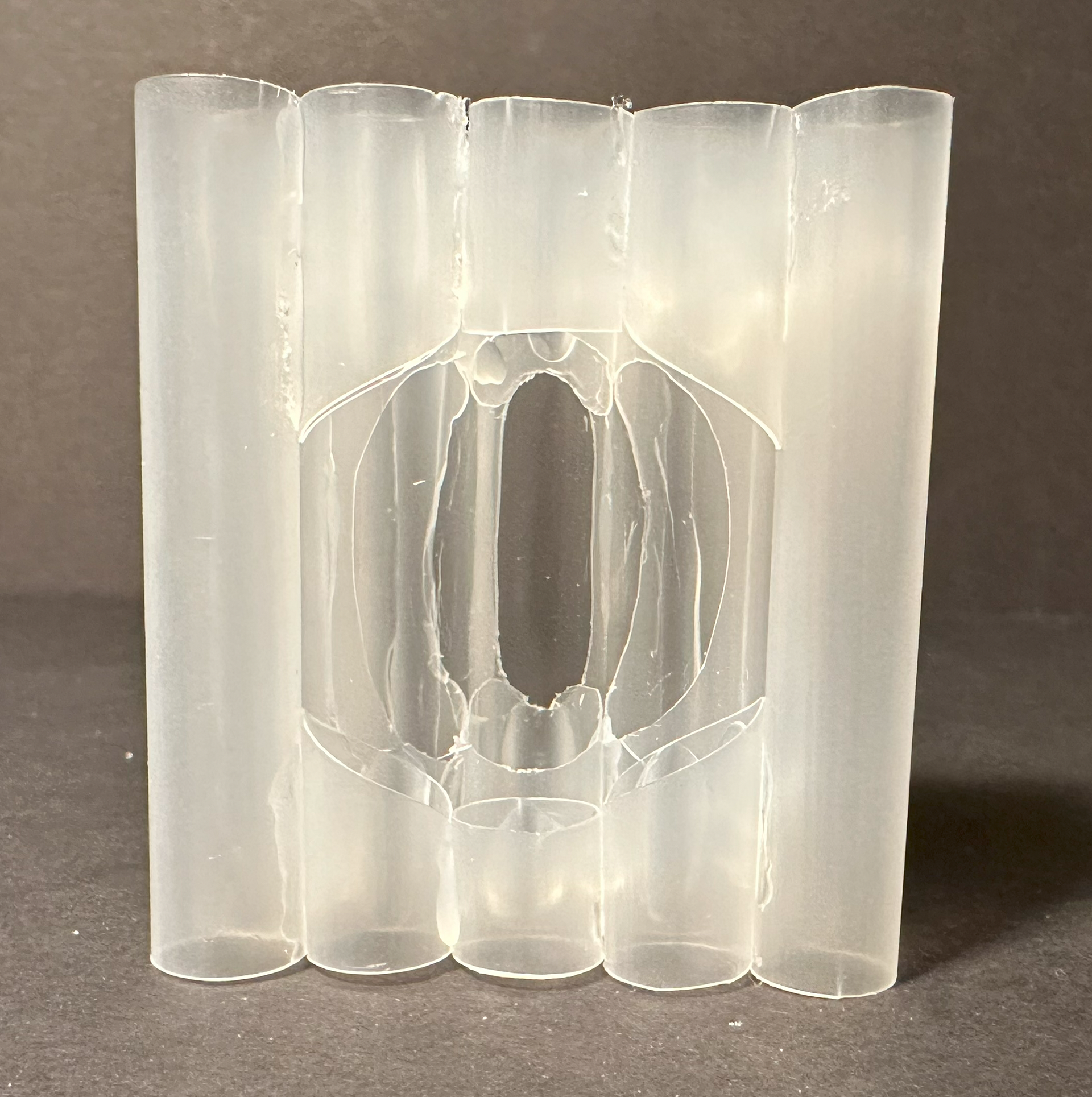
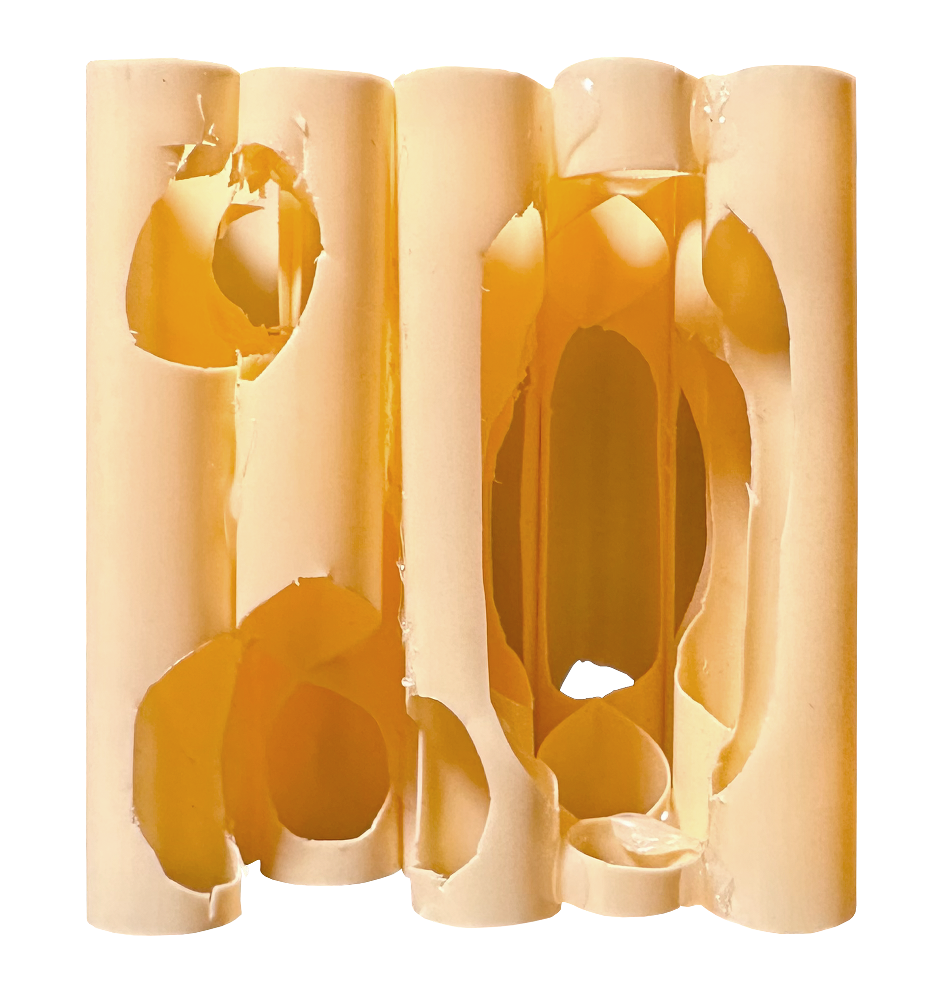
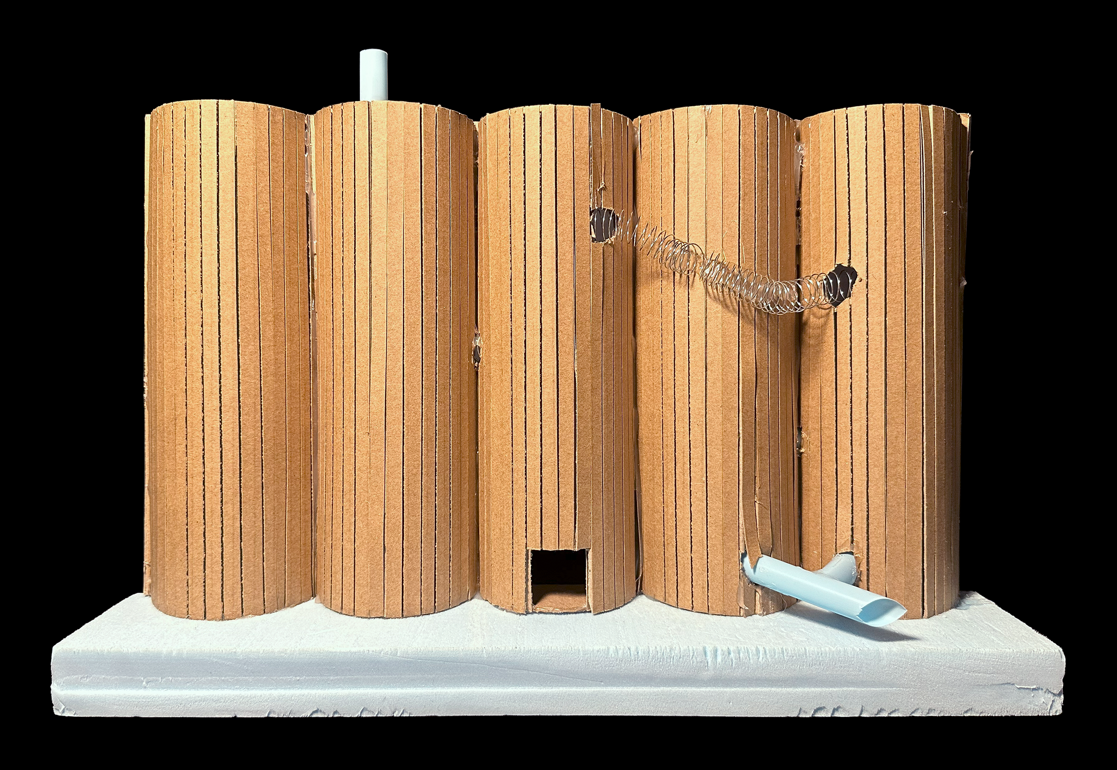
After creating the postcard, I initially gravitated towards this concept of explosion and did a model study on carving to try and convey an idea of controlled explosions.


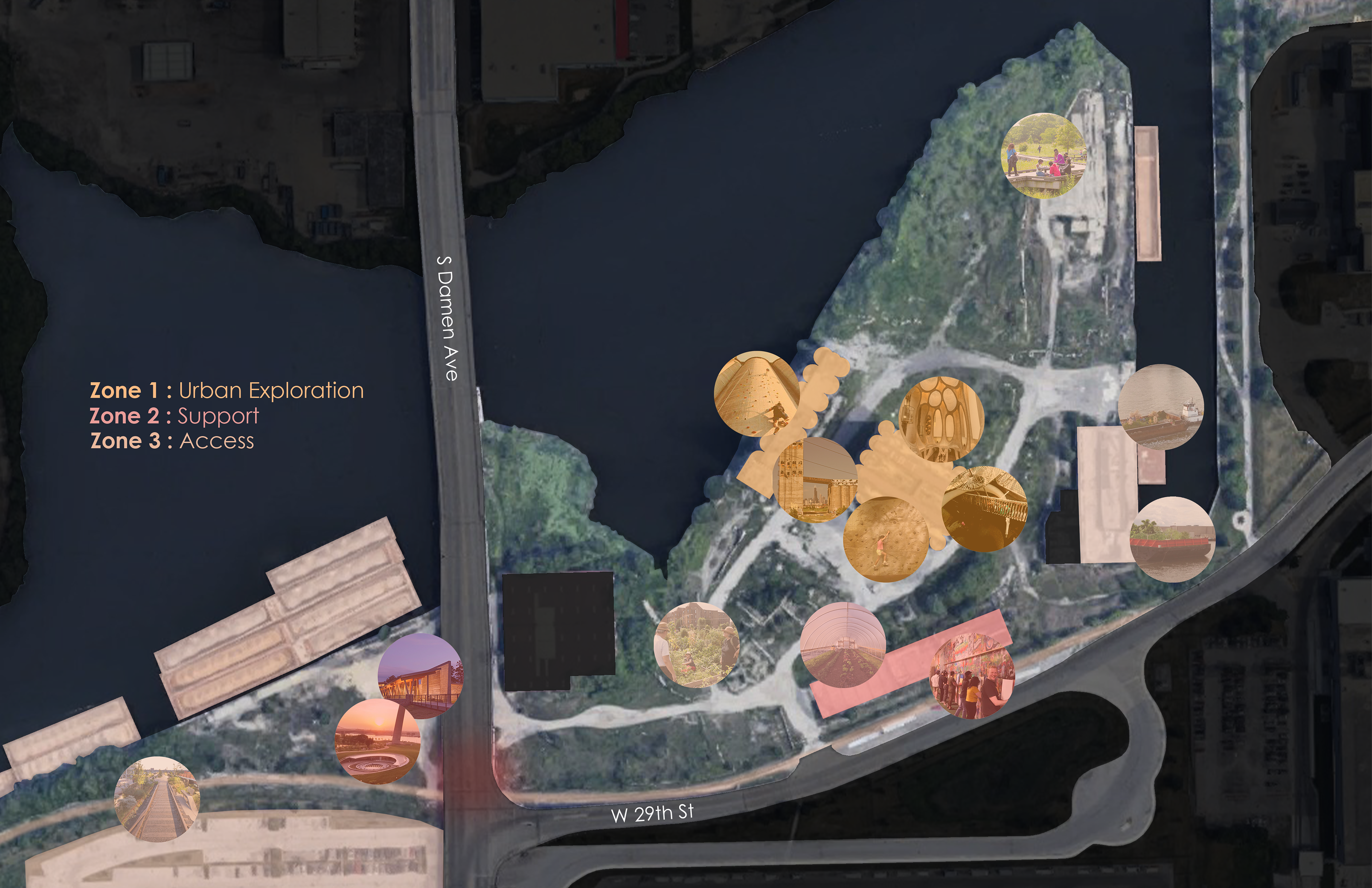
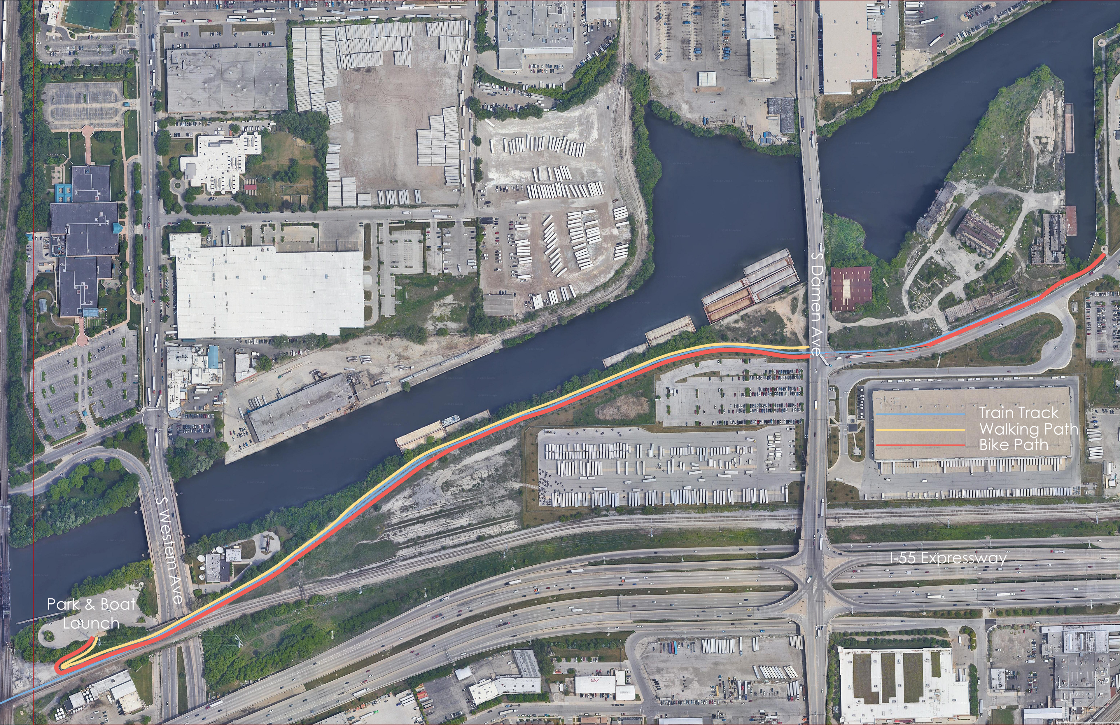
Moving from concept to programming, I broke up the programming into 3 different zones, Urban Exploration, Support, and Access. The Urban Exploration includes carved spaces filled with different tactile environments to encourage different types of movement. The Support spaces include a welcome center as well as a greenhouse space with spray-painting space for classes. The Access spaces include the growing fields with paths, expanded bike trail, boat departure building, and barges. The first access diagram below proposes where a possible Damen Silos water taxi stop would be on the current route, as well as where a current boat launch exists south of the site at the Richard J. Daley Park. The second diagram is a proposal for an expanded bike path connecting Richard J. Daley Park, the Damen Silos, and Canalport Riverwalk Park. These access diagrams bring that concept of urban exploration out into the city, stemming from the Damen Silos.
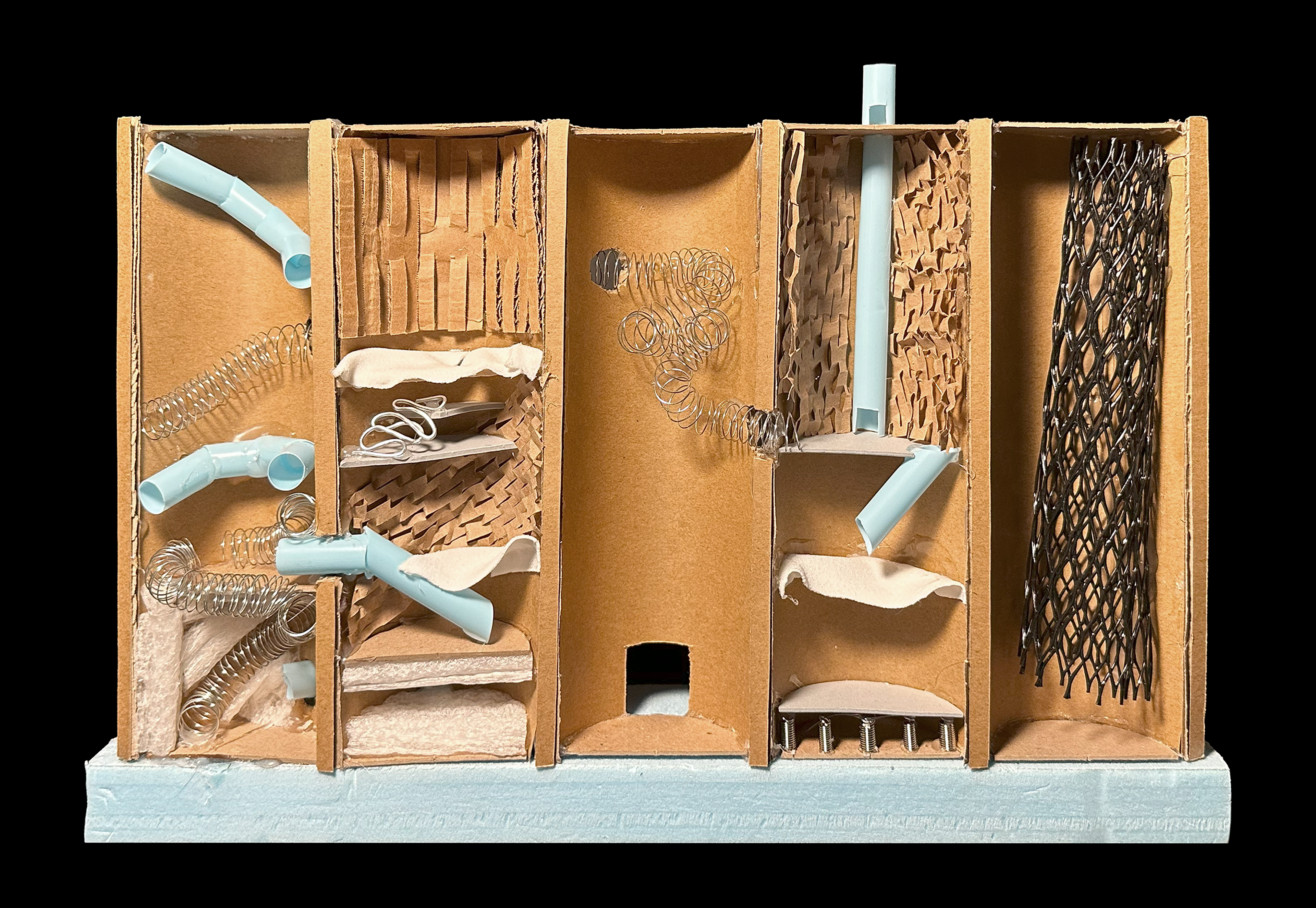
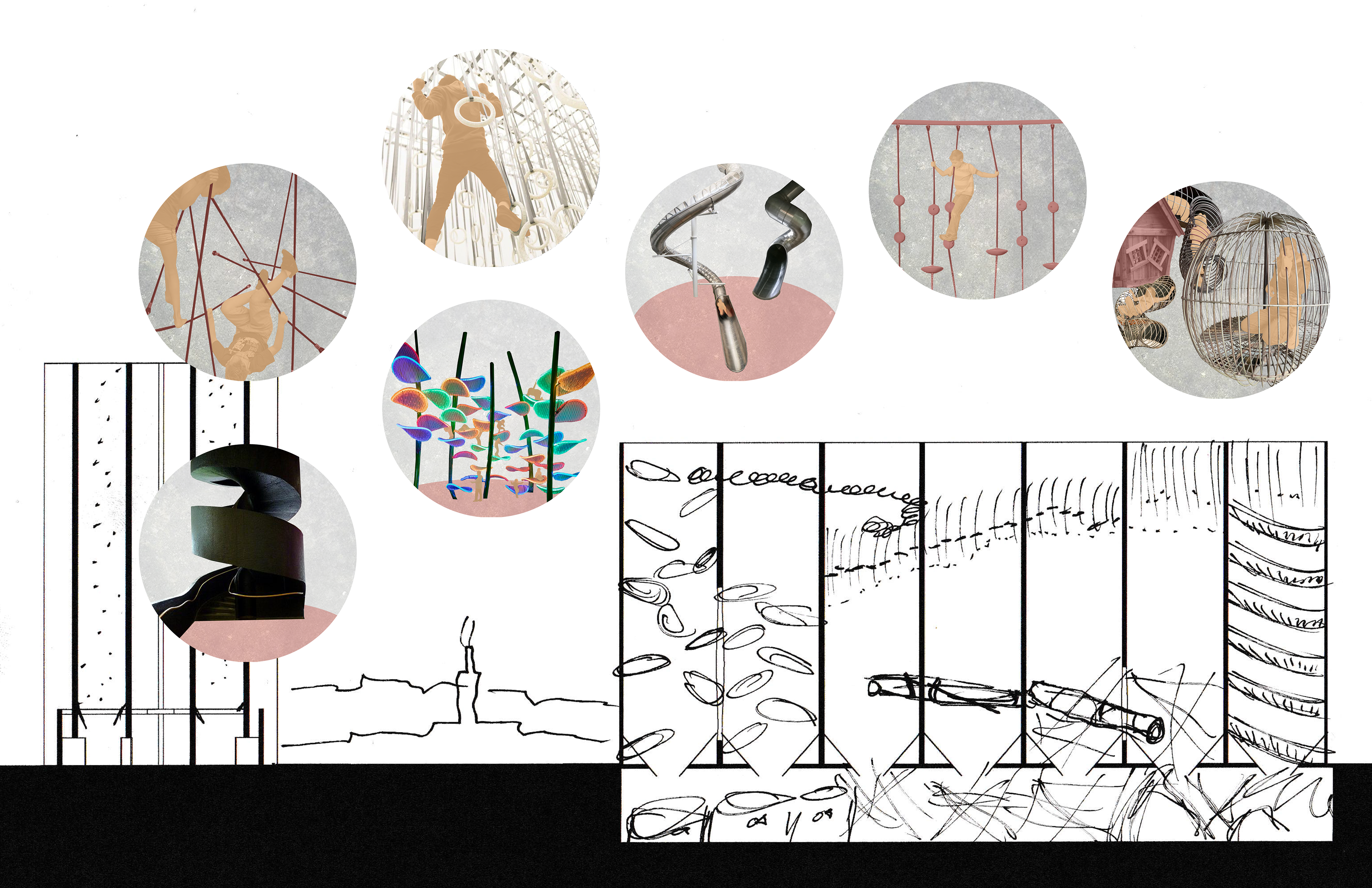
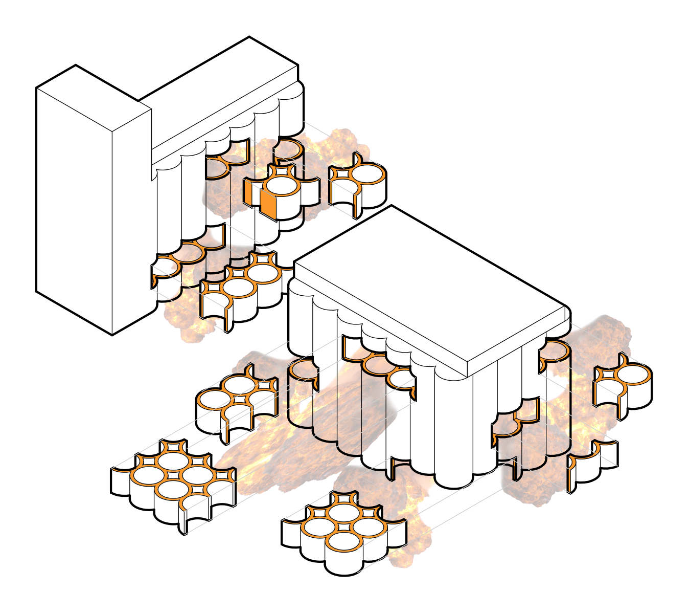
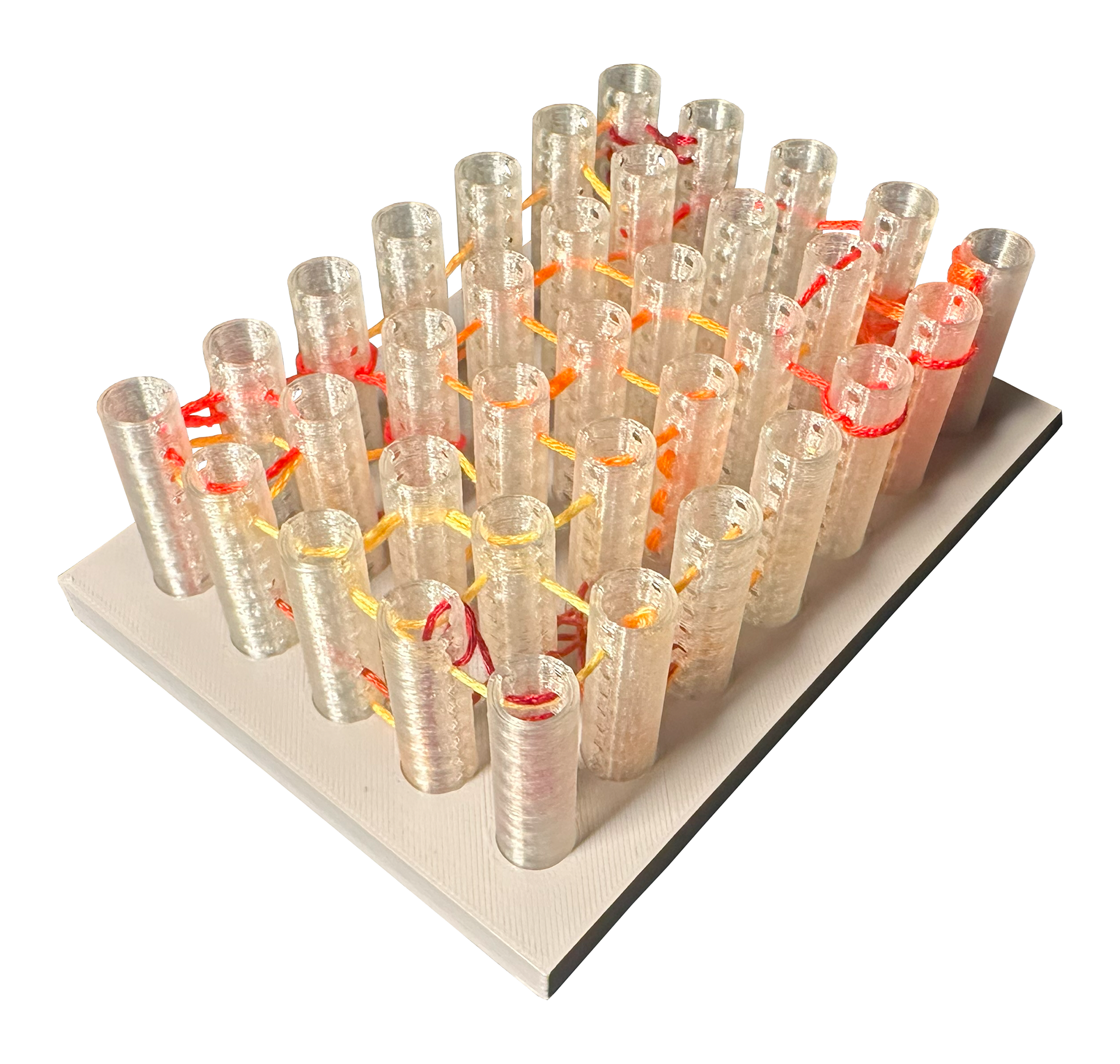
Expanding upon the urban exploration concept, I experimented with different materials to explore spatial constraints of movement in this section model. I also visited the St. Louis City Museum to explore an already existing sculptural climbing space. After experimenting with this model and visiting the museum, I identified 10 different materials that create interesting constraints on movement. Below you see conceptual perspective renderings of these materials, which have been associated with specific colors of embroidery thread. This embroidery thread weaves through a model of the silos pulled apart to show moments of intersection, singular movement, and absence.

Finally, I took a progression of section slices of the carved silos from Revit and sketched these moments on them to demonstrate how the materials would interact, as well as the impermanence of the material juxtaposed against the solid emptiness of the silos' structure.
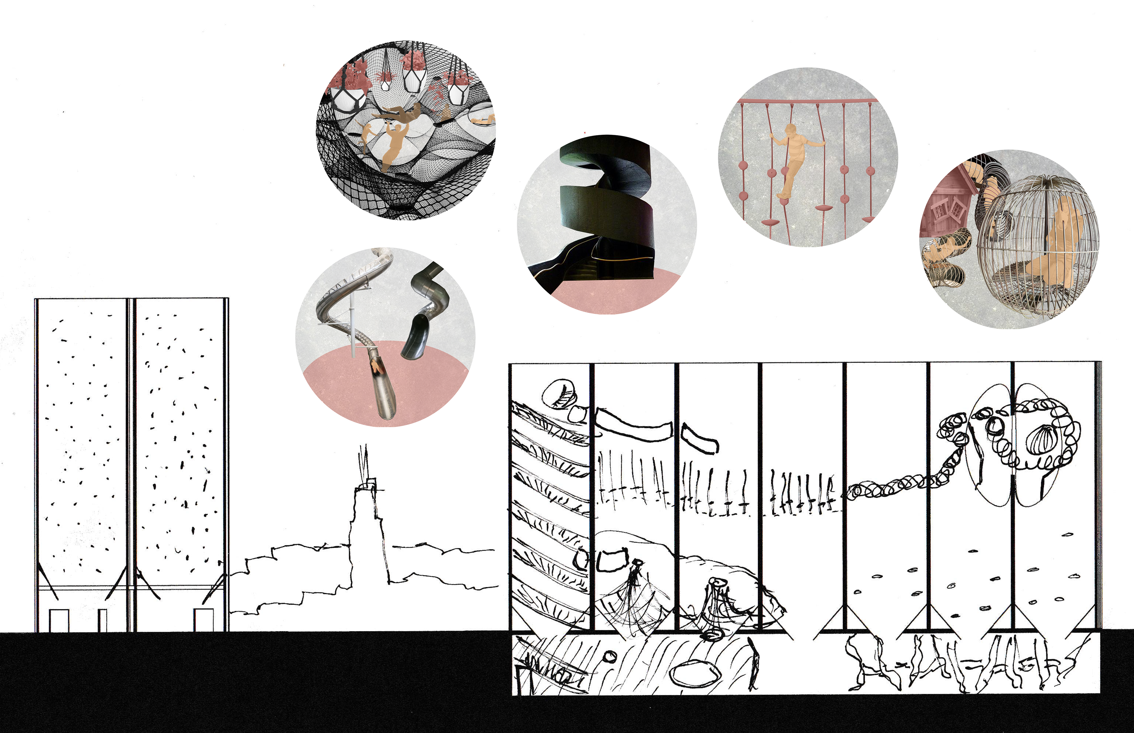
Section 1
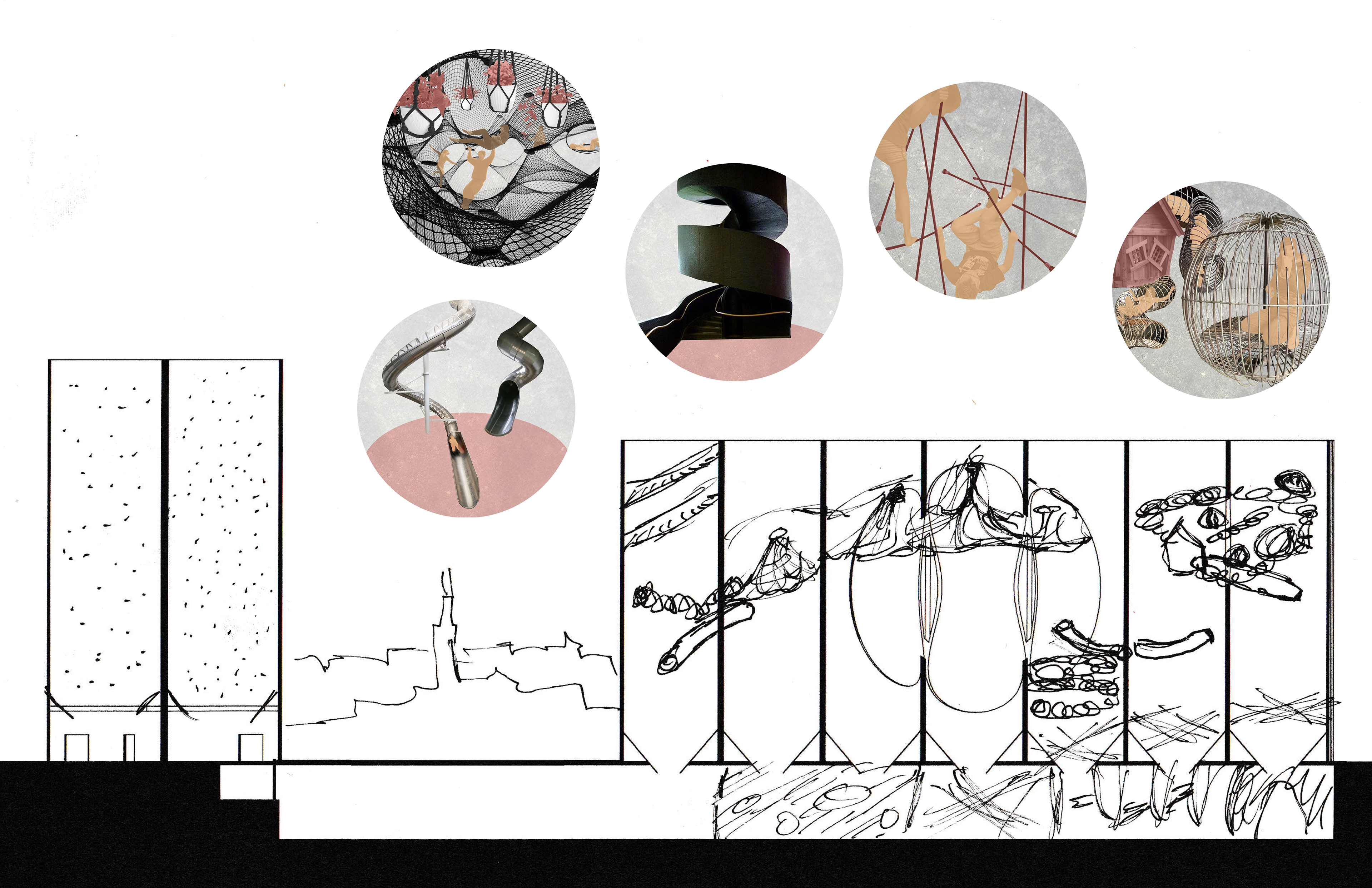
Section 2

Section 3

Section 4